Unloaded at the intersection of the 43 road and headed down Last Chance Road. I kinda left off in this area last fall with some logging going on. They left a lot of campfires, ready to go:
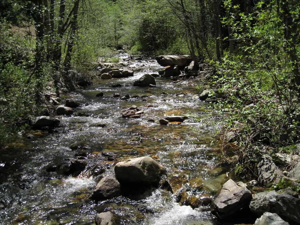
Down to see my favorite creek crossing - Deep Canyon Creek.
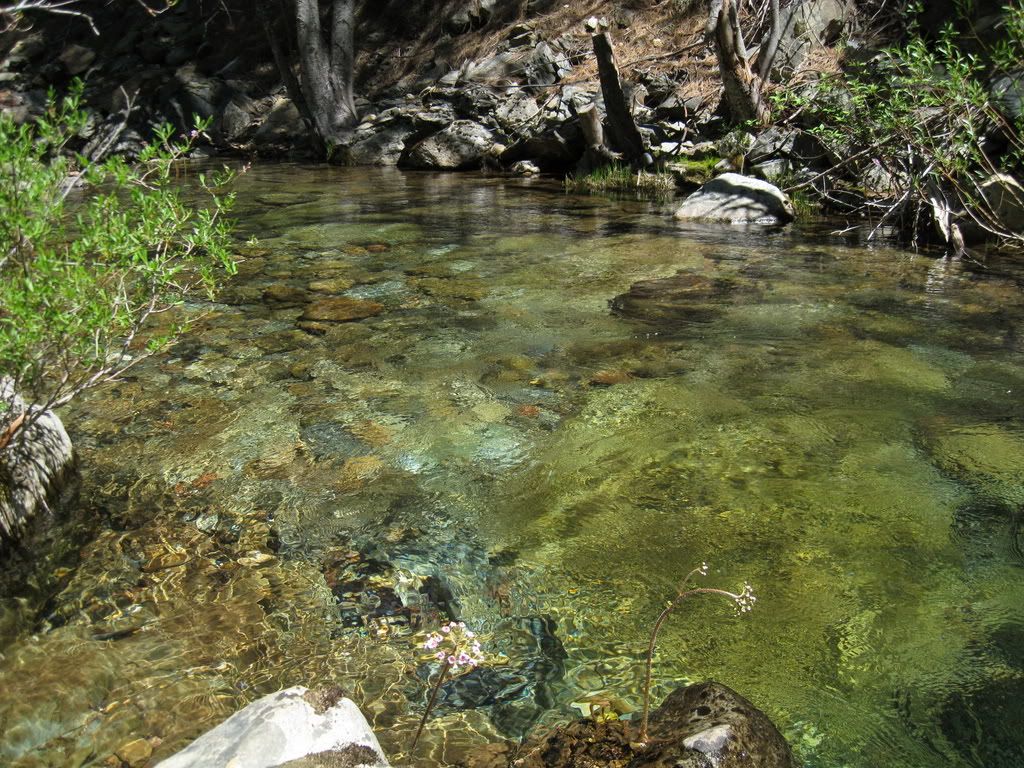
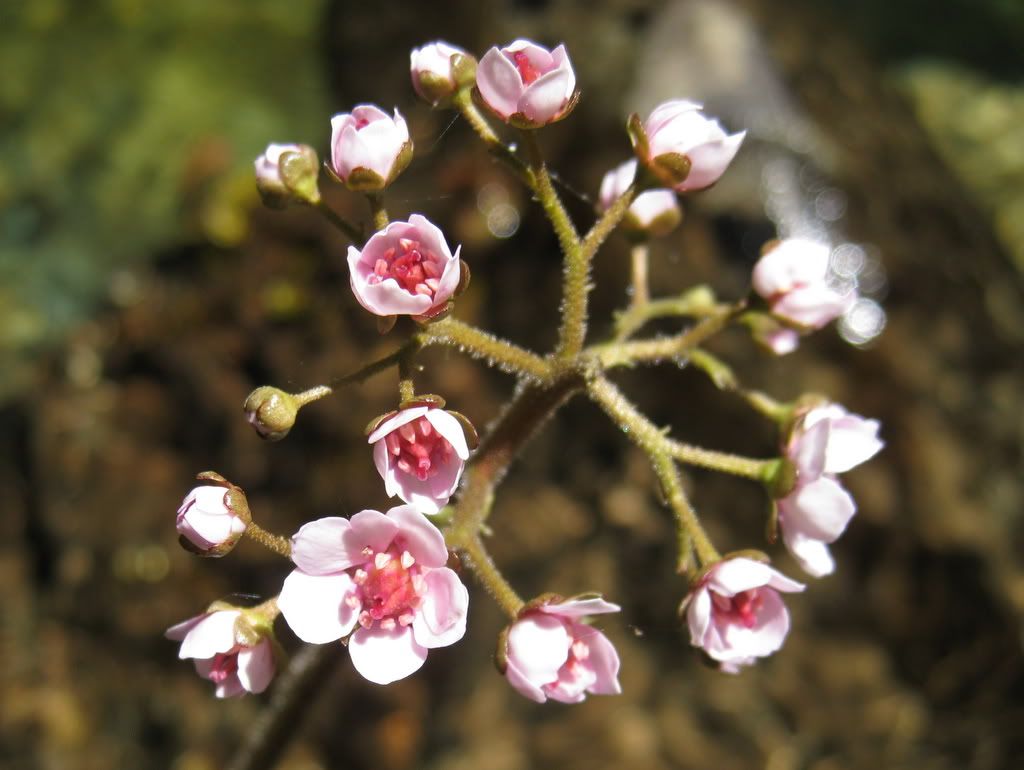
Compared to last year, I'm up here pretty early . This flower is the plant that makes those huge leaves right there in the creeks - it's truly spring!
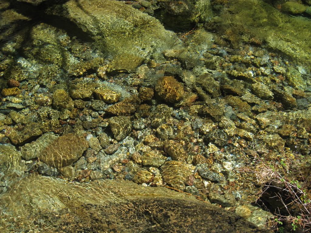
Crystal clear water.
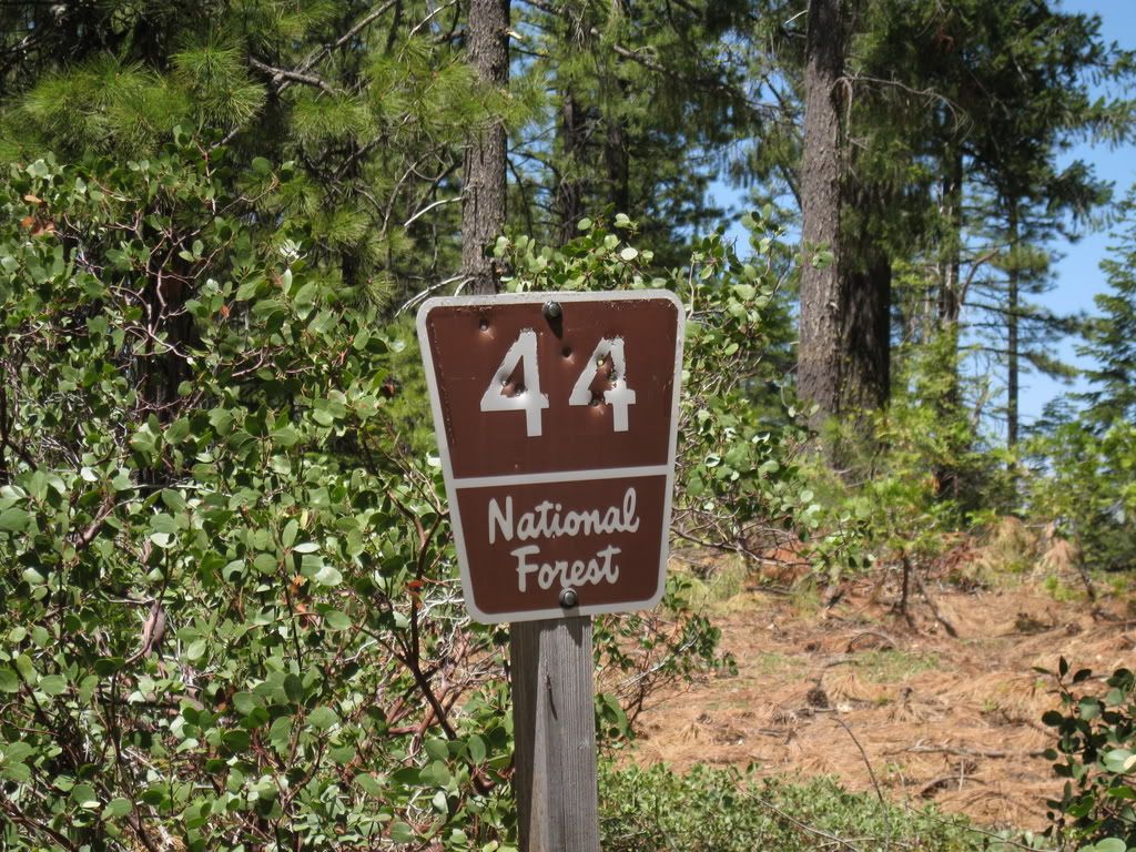
On down the 44 road.
Went down a side road to a mine. At the bottom there was a flat road - and I realized it was an old mining ditch.
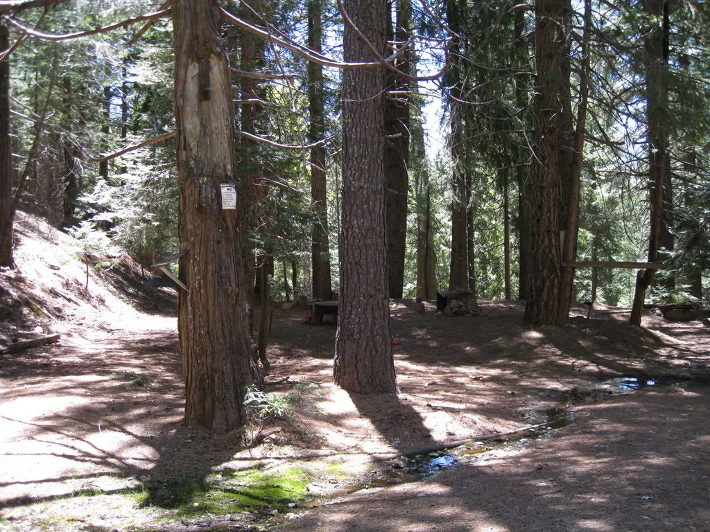
Just above there is a camp.
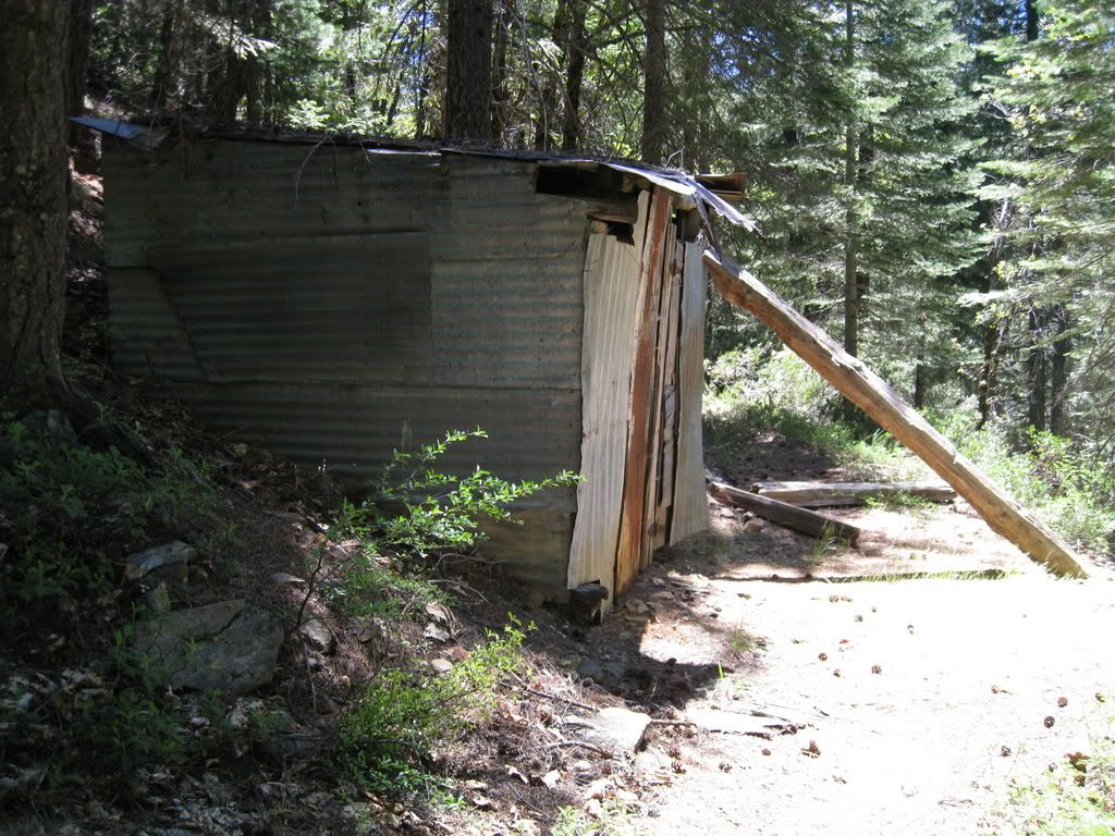
And a building with a huge door prop.
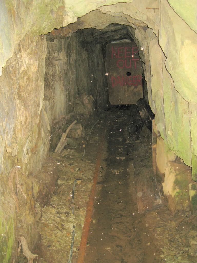
The tunnel.
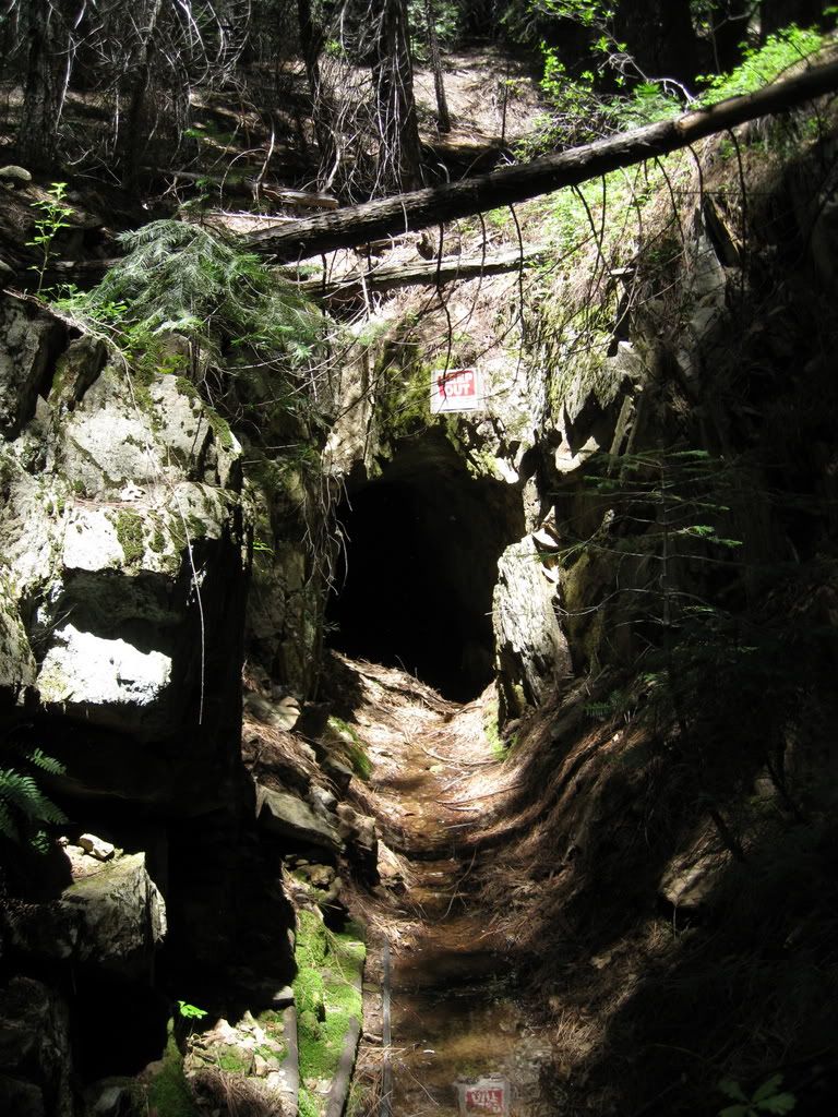
It was pitch black in there, but I got this shot.
Back out and onto Last Chance Road and continuing towards the old Pacific Mine. Not today though.
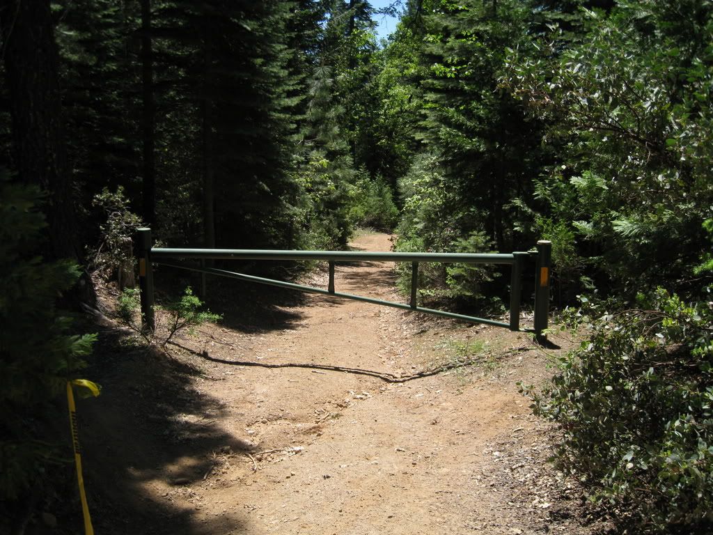
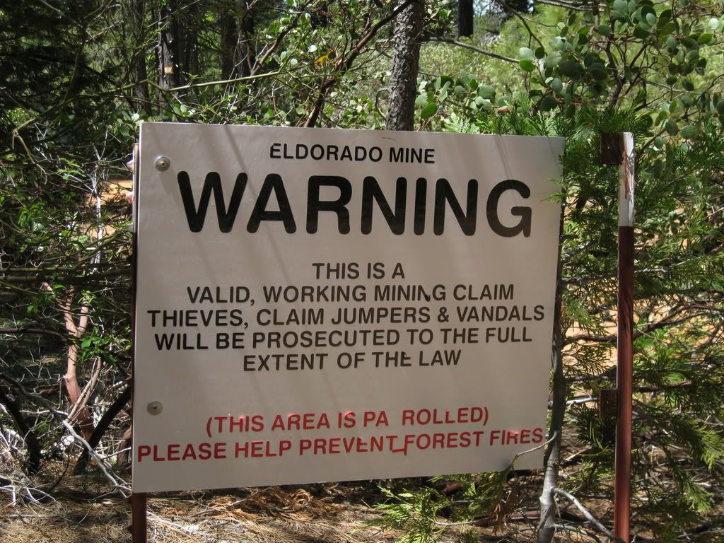
Funny, that was open last year. Note there's room for bikes - which are legal. Too bad they don't have ATV gates. How progressive would that be? Anyway, back up Last Chance Road. A number of the side roads are signed like this, but with varying mine names. They should have put a coating on the lettering, the weather is peeling off the vinyl lettering.
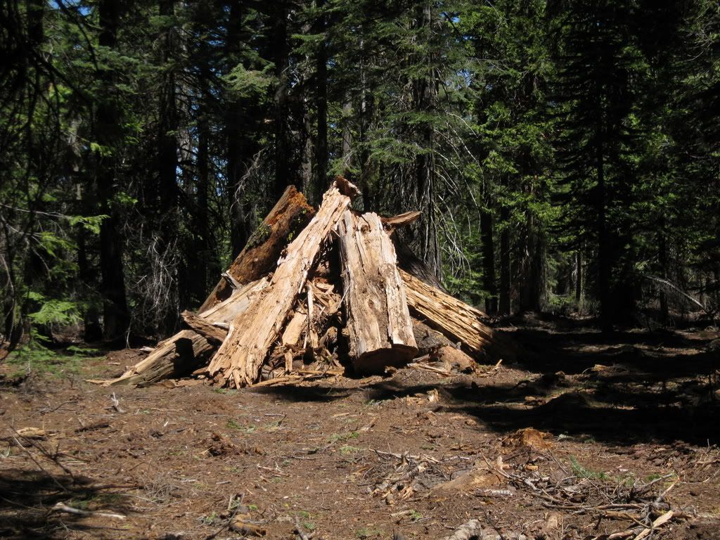
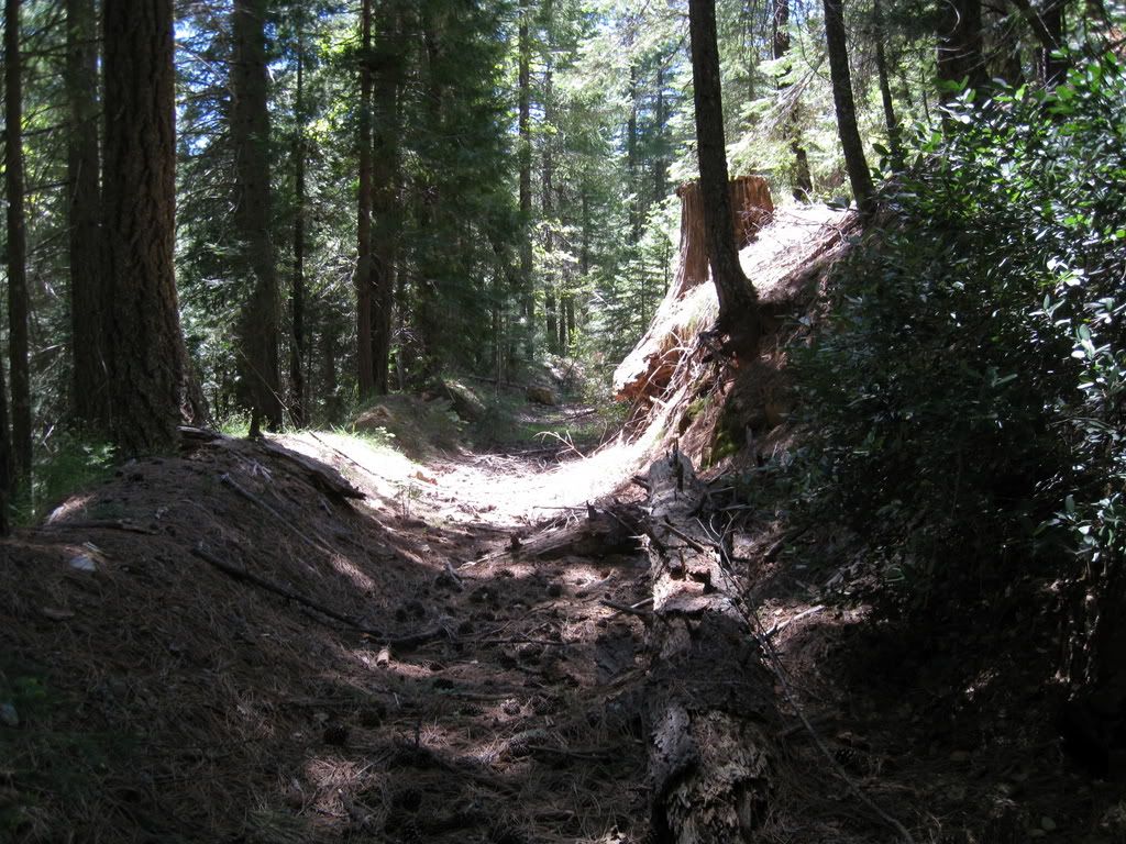
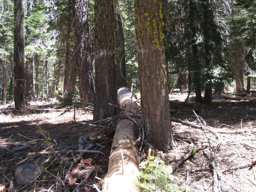
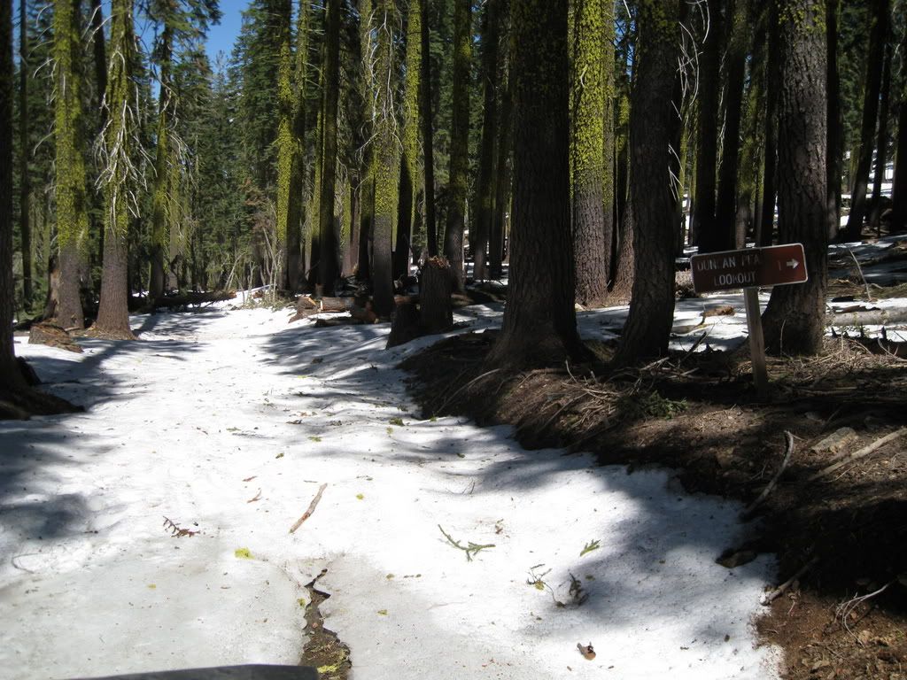
Decided not to go up the 44 road on Barney Cavanah Ridge up to Duncan Peak - I didn't want to come all the way back if it was snowed shut at the top, so back the way I came. On the way, one of the side roads I wanted to use had loads of logs blocking. So many of them were "locked" like this - fallen between trees so I could not winch them.
Back on the 43 road towards Duncan Peak - someone sawed a lot of big logs on the road.

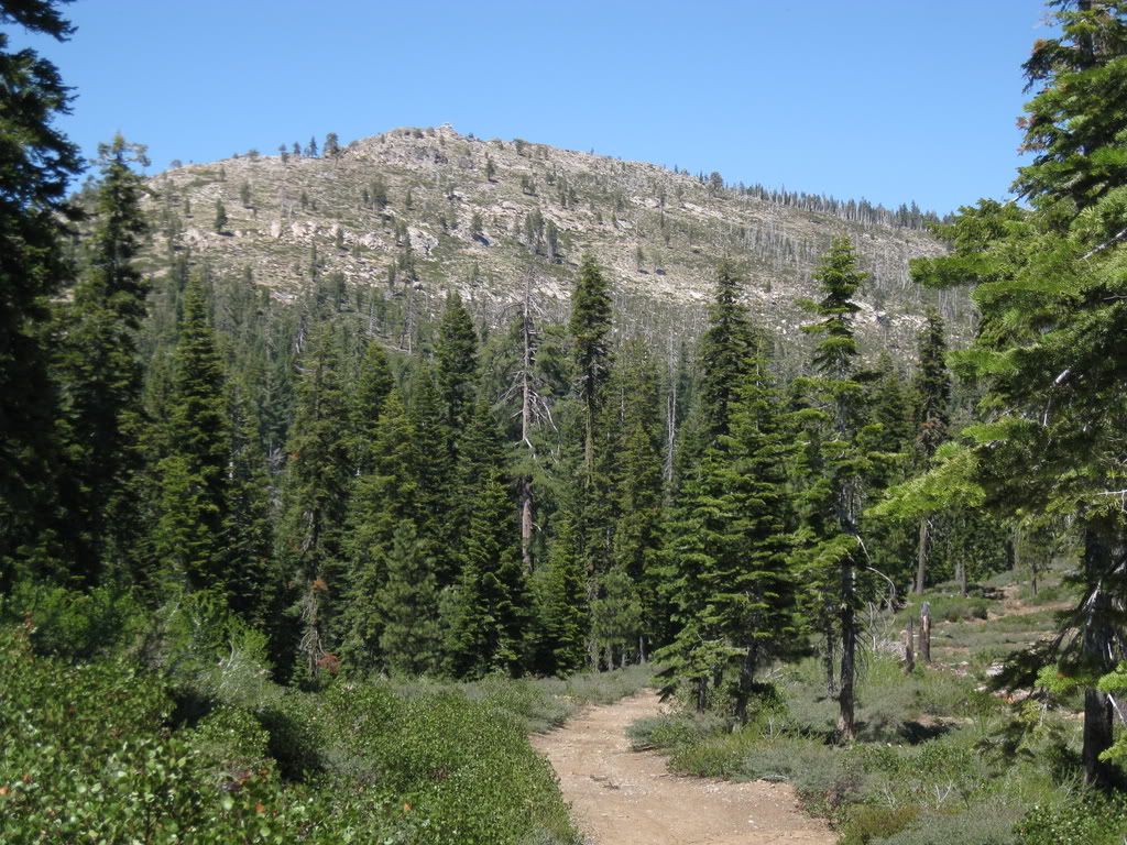
Nice view of Little Bald Mountain (and Duncan Peak Lookout at the top).
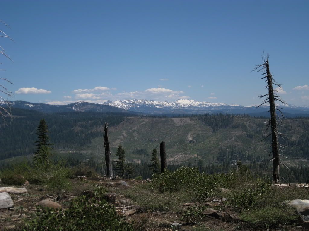
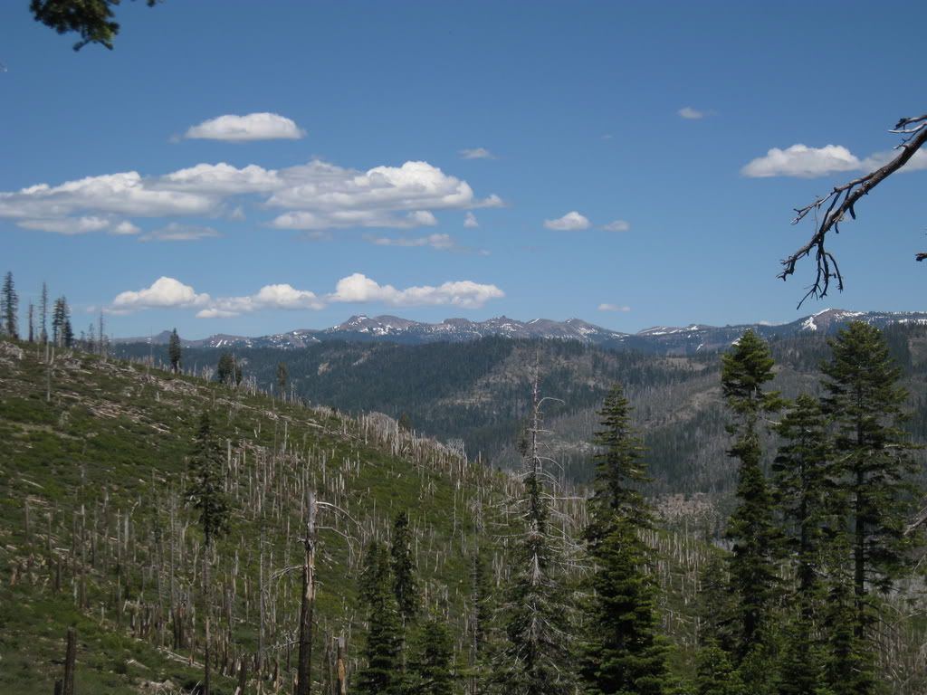
Still a lot of snow on the Crystal Range.
Not as much towards the east.
But plenty at the top - and it's the end of the road, can't make it to Robinson Flat (so near, yet so far) because of the snow and a downed tree up ahead (typical!).
Nice day up there - 70 degrees at 6,000 feet and 80's down below in Last Chance (4,500 feet).